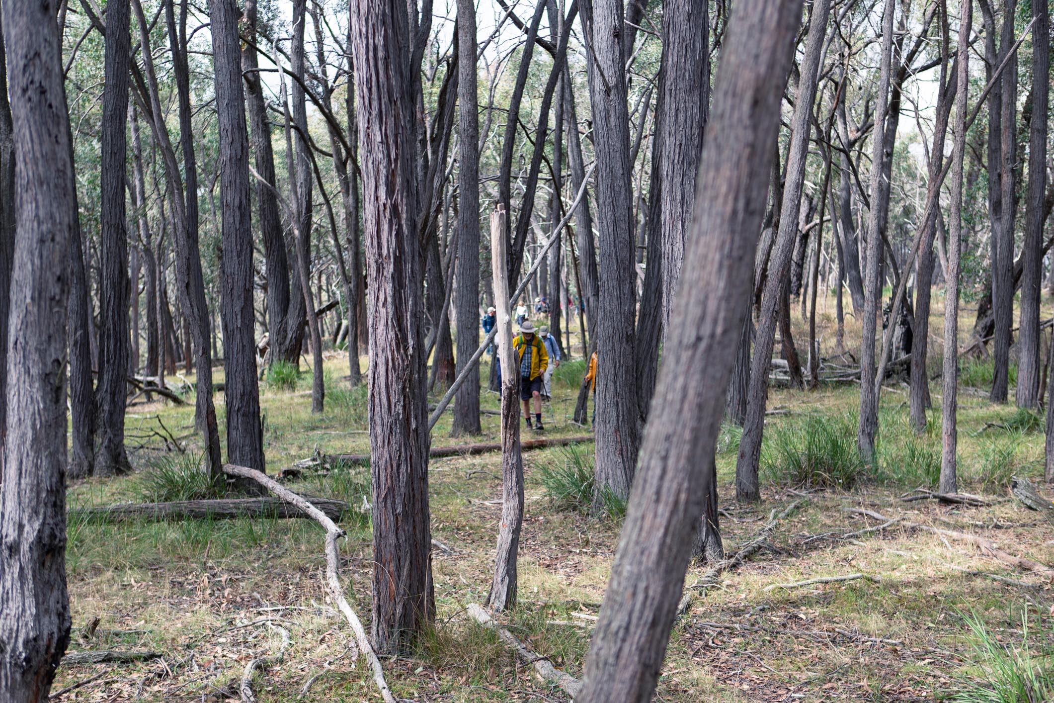
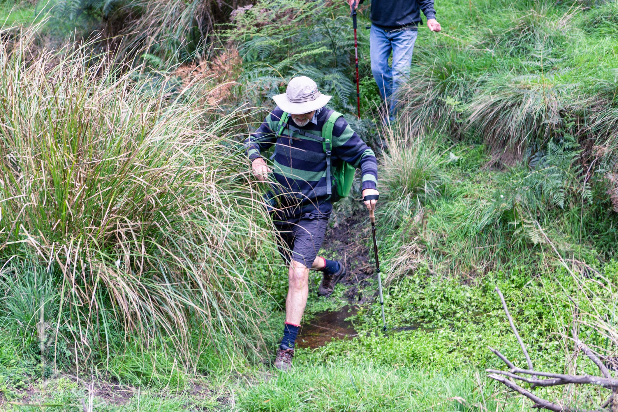
While our adversary COVID-19 hasn’t yet disappeared, we’ve beaten it back sufficiently to restart our beloved series of riparian walks. The Wallaby Gully Reserve isn’t on most people’s radar, but is surprisingly accessible, albeit via dirt road. With only 20 places offered for this walk, spot filled up within 24 hours of announcing the event via out newsletter.
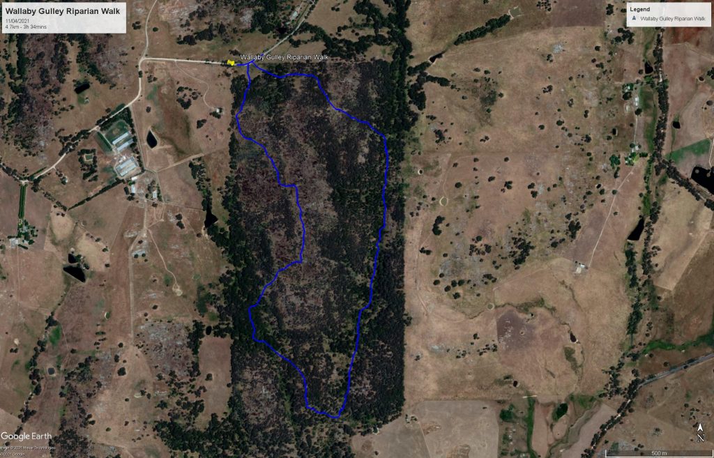
After a spate of hot weather, walkers caught a taste of the first of autumn’s cold fronts. Thankfully the rain held off long enough to complete the walk with both spirits and socks undampened. Access is simple, with the NW corner of the nature reserve intersecting Upton Rd. There’s plenty of road side parking as long as you’re careful not to park in a ditch or gateway.
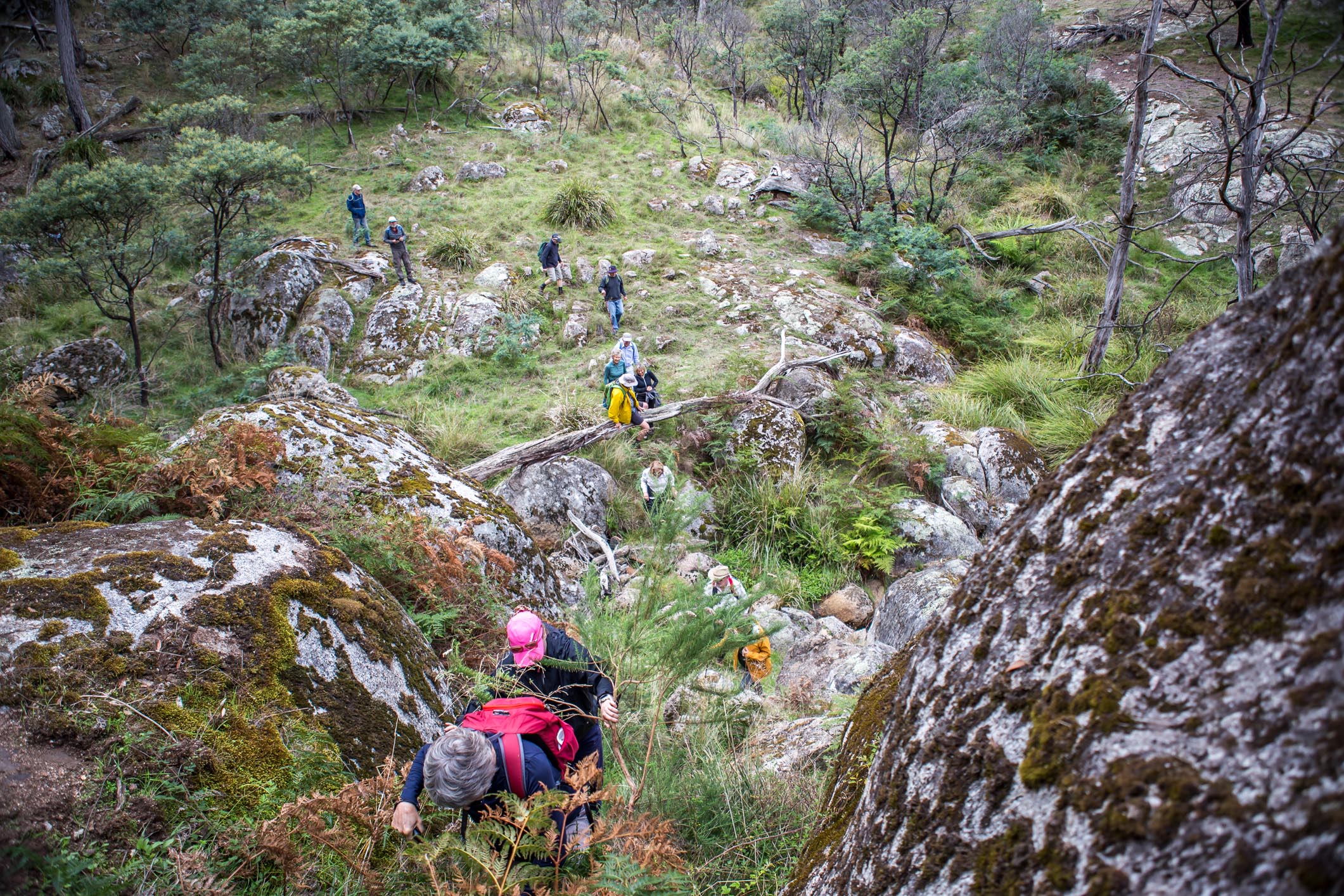
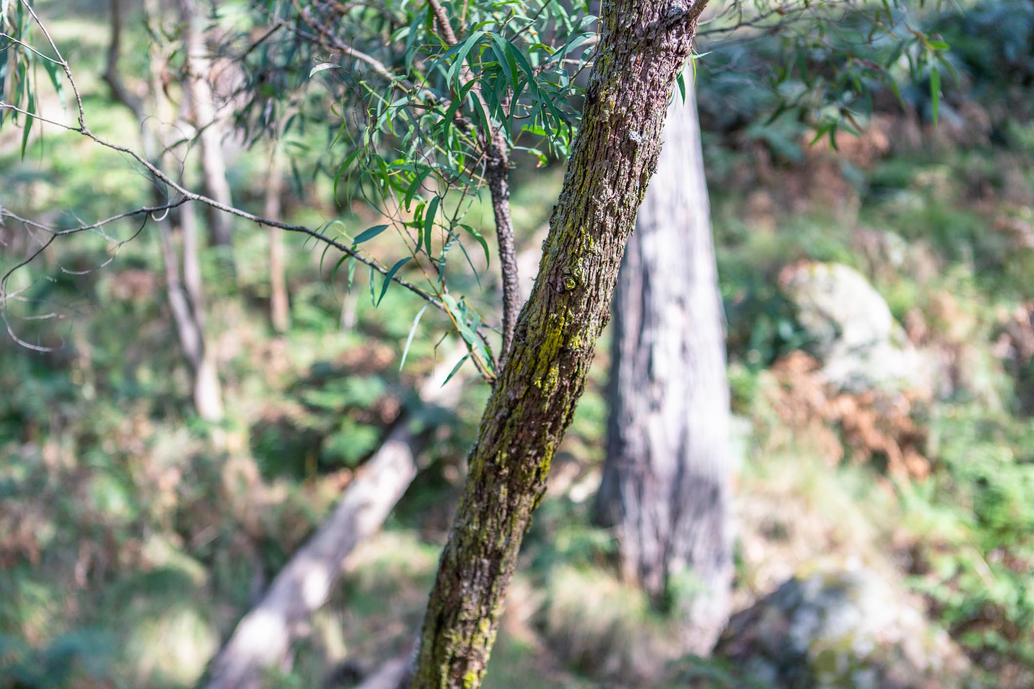
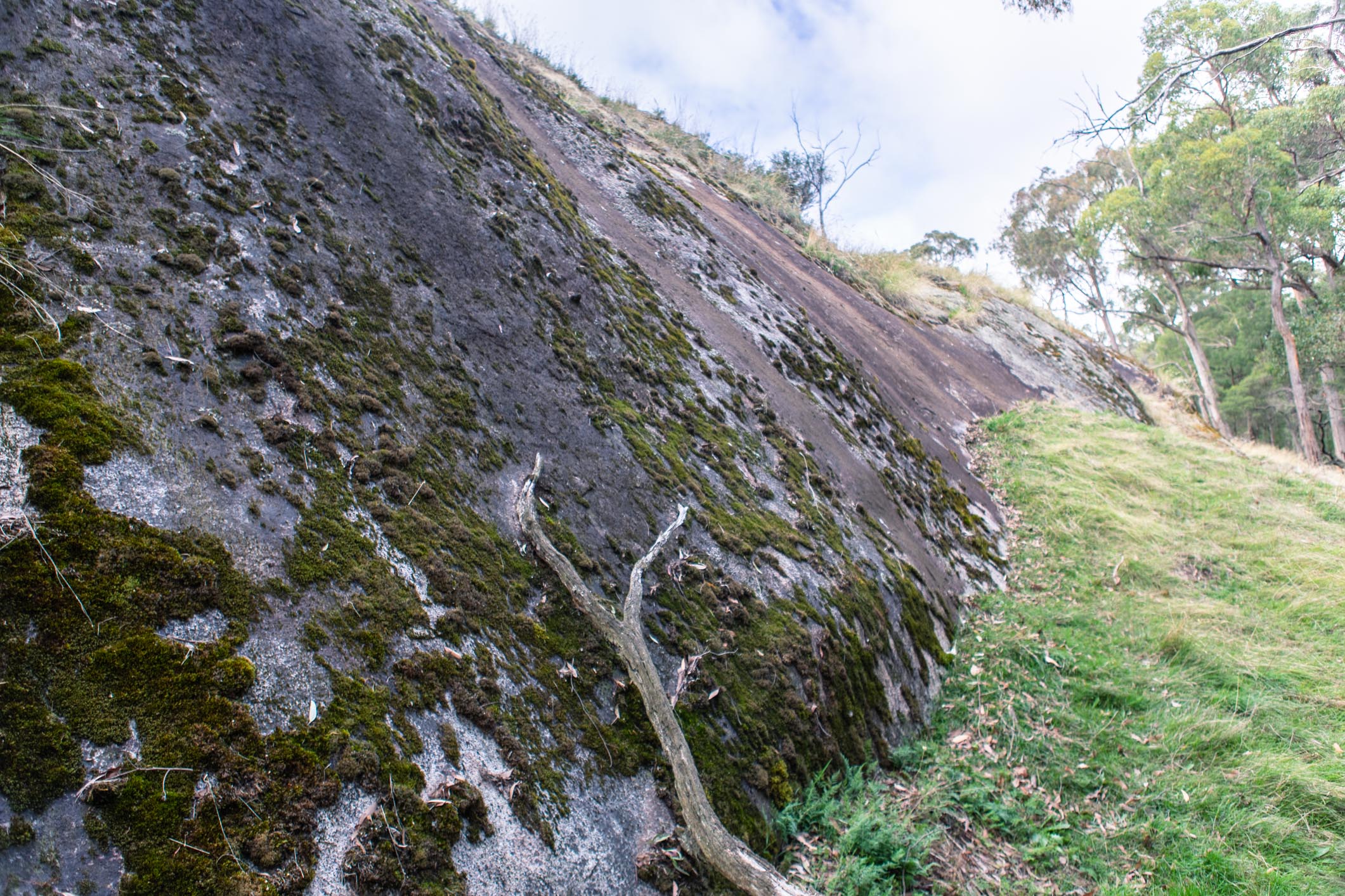
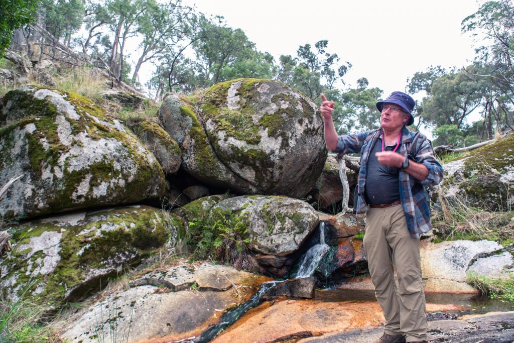
After a brief introduction we set off, making a beeline for the creek (Wallaby Gully Creek?), which feeds into the Ponkeen Creek, and on to the Hughes Creek. The creek was running at a trickle, emerging from the srping at the north end of the reserve. From there, we descended down to the end of the reserve, noting granite boulder outcrops along the way. Resident Geologist and riparian walk veteran Neil Phillips explained the geological processes that created these features, adding another layer of intrigue to this already diverse walk.
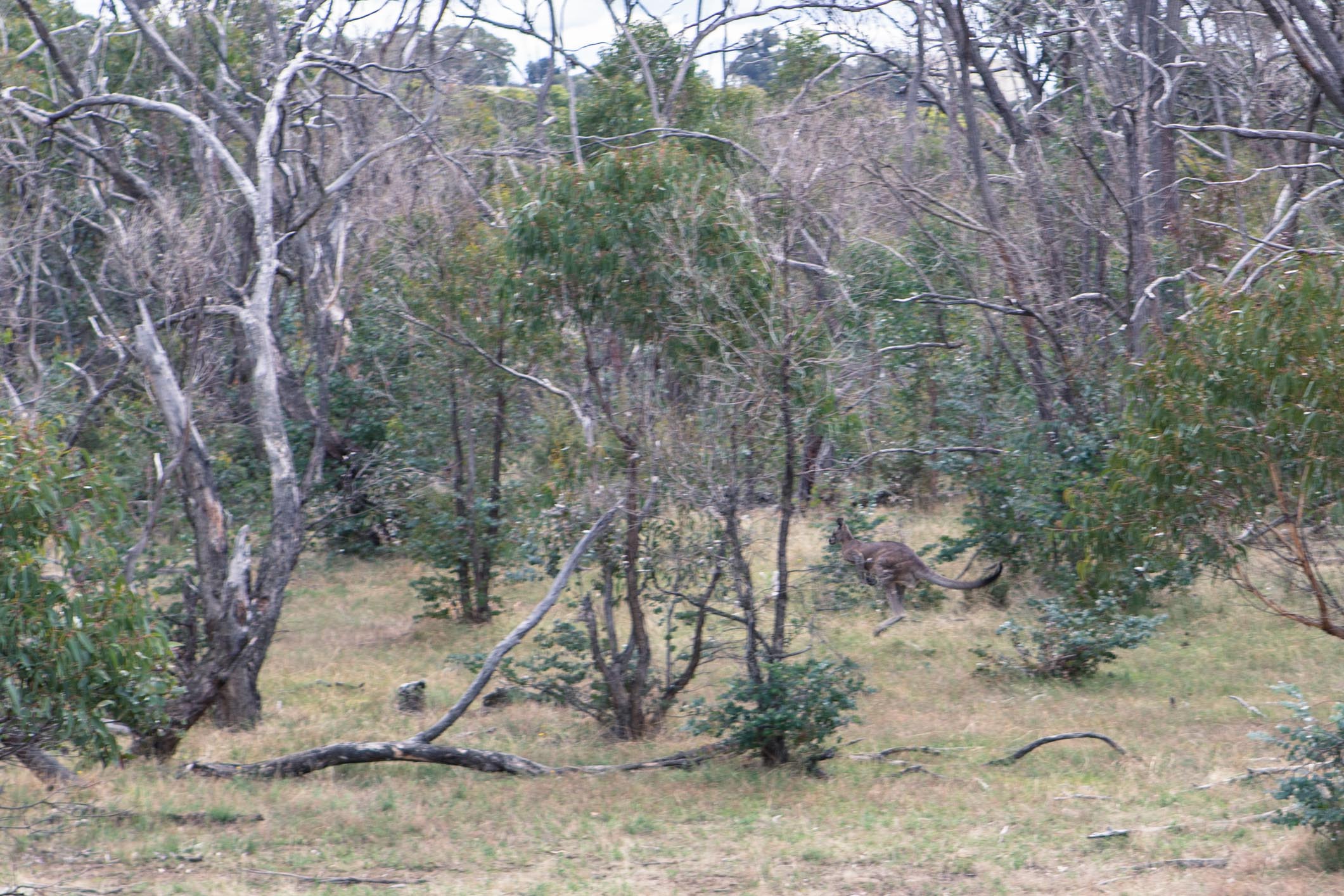
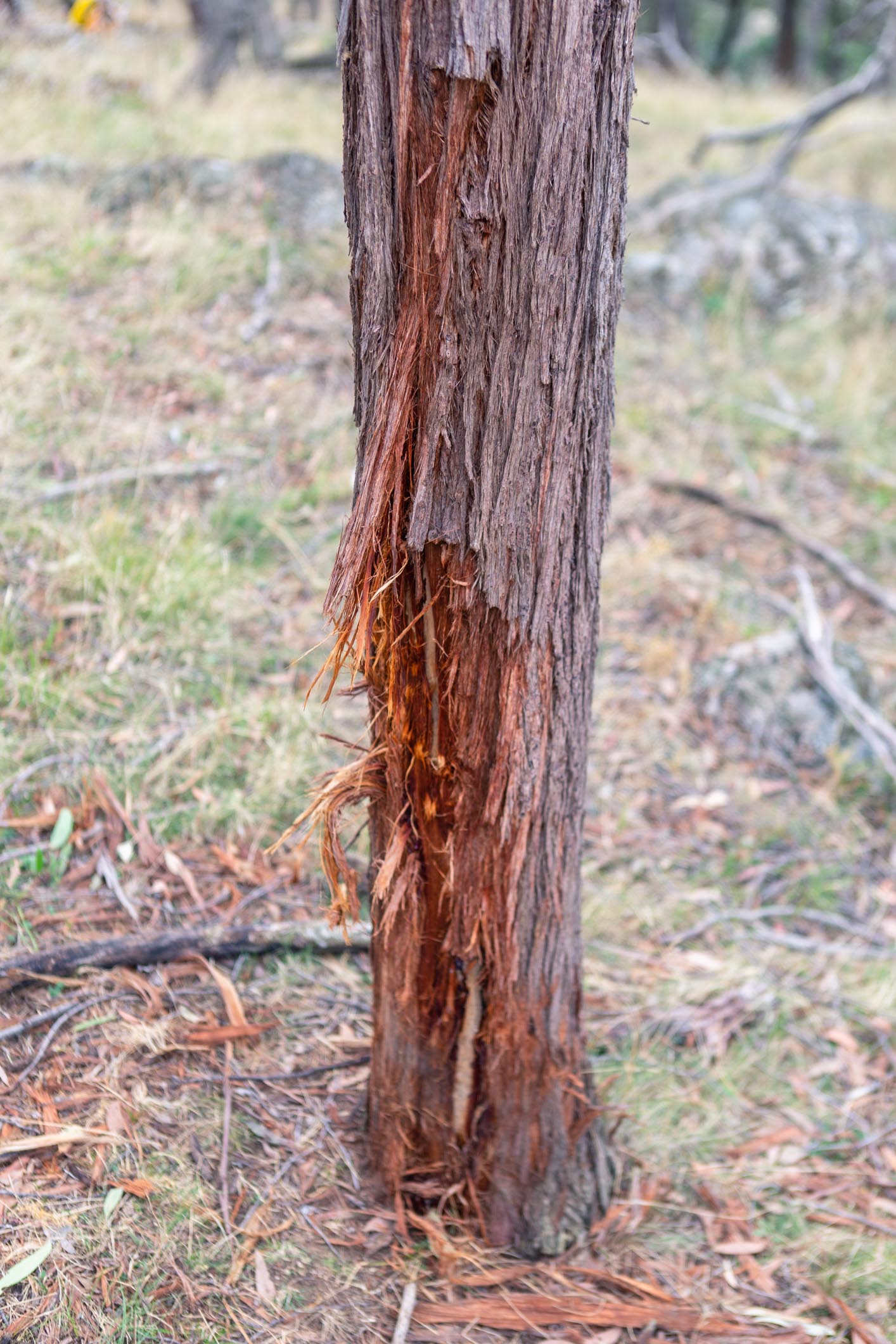
The usual suspects of kangaroos and wallabies were spotted, as well as a honking deer who seemed to take offense at us intruding on his territory. Wombat holes abounded throughout the reserve, although the group of 20 walkers was enough to convince them to stay at home. Evidence of deer could also be seen throughout the reserve, with rubbed trees and well worn tracks frequently spotted by those with keen eyes.

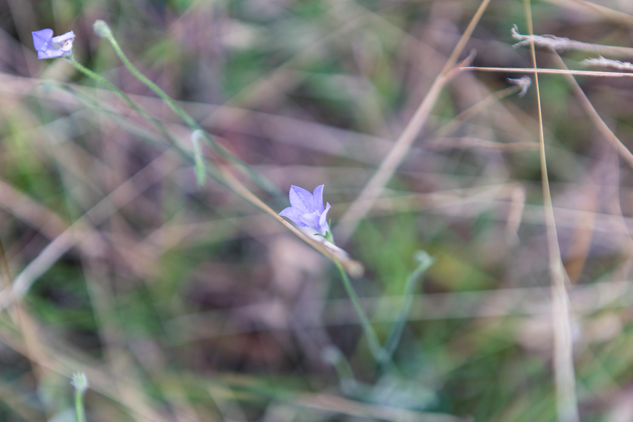
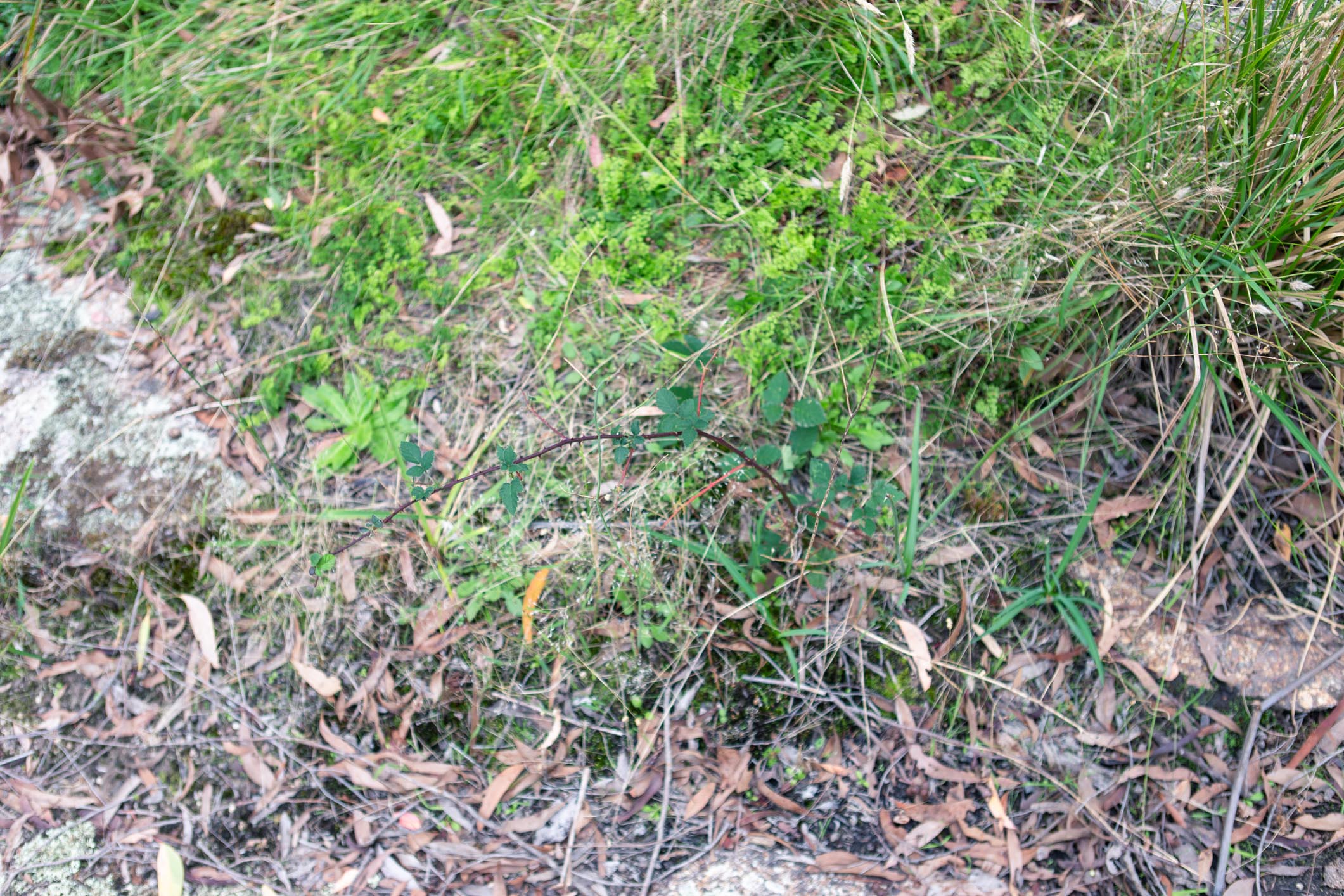
Our old nemesis the blackberry was surprisingly absent from the creek, with the exception of a single small plant at the southern edge of the reserve. Native raspberries were also present, and look like blackberries to the untrained eye.

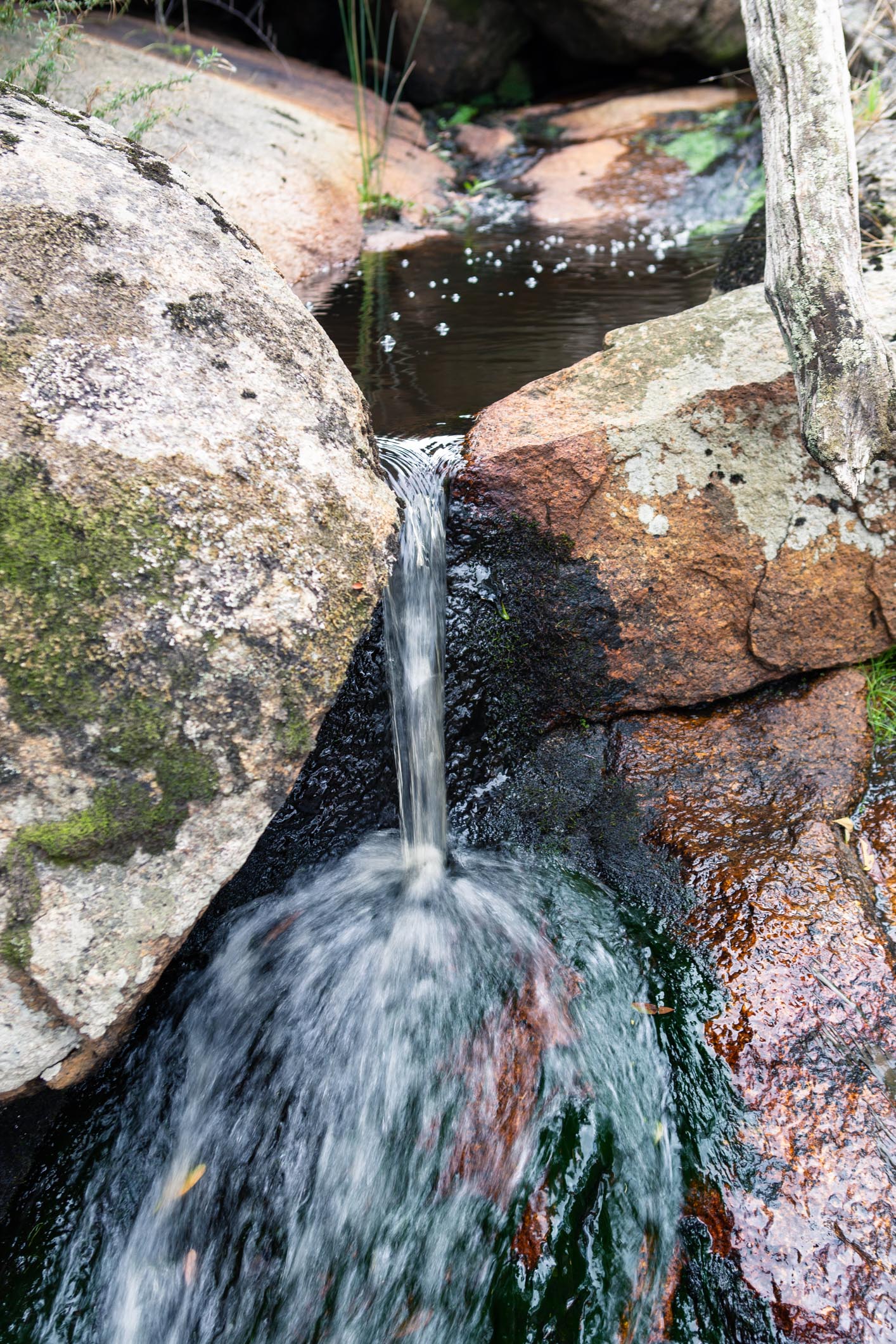
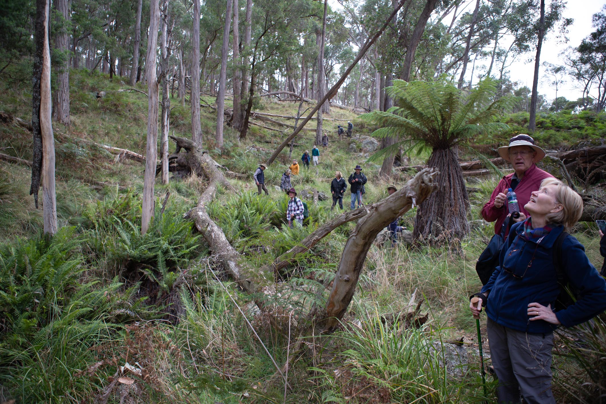
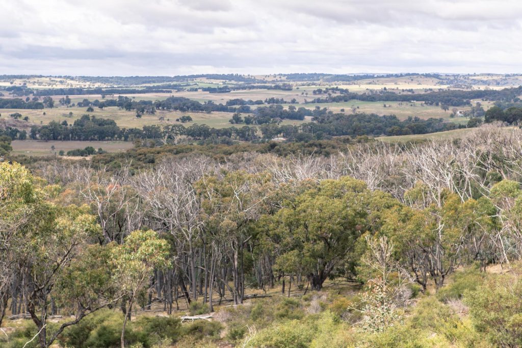
After smoko at the southern end of the reserve (complete with a fun sized waterfall), a short but steep ascent up the side of the gorge reminded walkers that they were alive. From there, we rambled through the ridges and gulleys of the reserve to the peak, a section of large slabs of granite. The Victorian Alps could be spotted amidst the rolling hills of Gooram and Strathbogie.
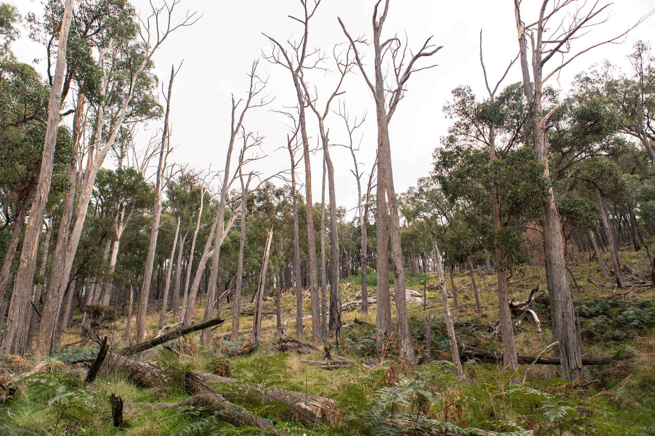
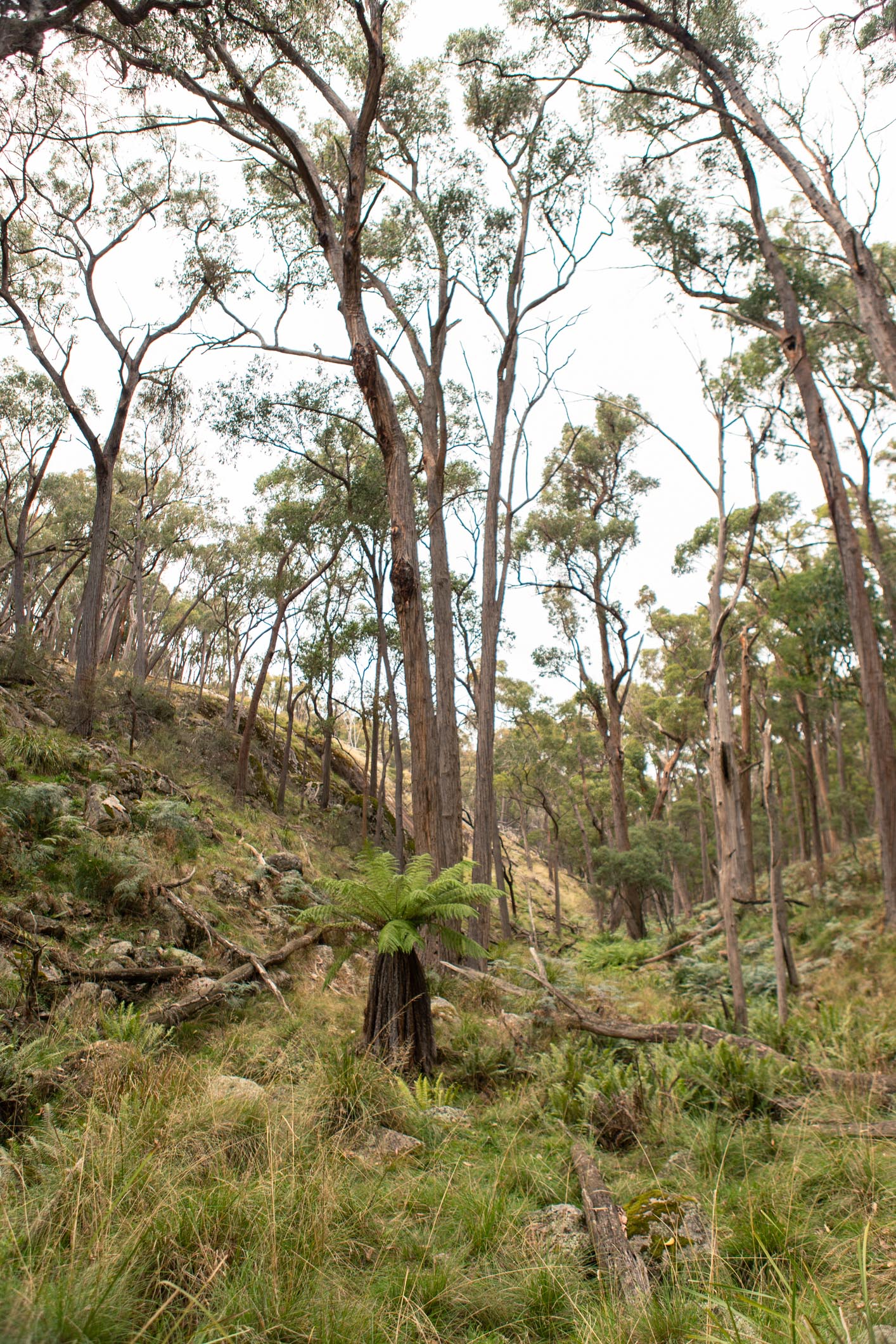
The Wallaby Gulley Nature Reserve has previously been of interest to local conservation groups, the GBCMA and Melbourne University for it’s confronting amount of recently deceased trees. Labelled “Canopy Collapse”, the apparent deaths of hundreds of native trees both within the reserve and nearby was enough to grab the immediate attention of Melbourne Uni Professor Stefan Arndt. The reserve looks much better than this time 3 years ago, with some trees sprouting new offshoots from their base after appearing completely dead for several years. The fact remains however that a large portion of the trees have not, and won’t recover from the effects of a prolonged period of drought earlier in the decade.
With a total distance of 4.7km, and taking less than 4 hours, this is a fairly accessible walk albeit with a scrambles. Thanks to Justus Hagen for scouting this walk and keeping the dawdlers in check.
For information on our past walks, check out our Past Events page. For info on other walks within the Strathbogie Ranges, have a look at our Walking Guides page.