Euroa Arboretum
A great source for local flora knowledge, and boasts an extensive nursery of native plants. As well as being a beautiful place to walk, visitors can also see first hand the extensive revegetation work being undertaken, as well as experimental and trial plots.

Visualising Victoria’s Groundwater
An interoperative web-GIS that federates groundwater data from disparate sources to assist groundwater researchers and help water managers make the correct choices for the sustainable use of a precious resource.
Strathbogie Natureview Blog
This site aims to record biodiversity and natural history information from across the Strathbogie Ranges and surrounding districts and build an on-line resource, a collection of images, records and stories.
iNaturalist – Fungimap
An easy and convenient way for fungi enthusiasts to document, upload and identify various species or genus of fungi.
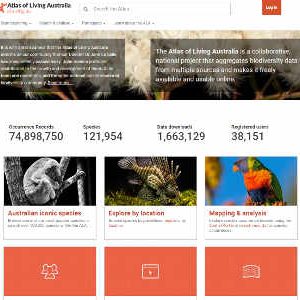
Atlas of Living Australia
The Atlas of Living Australia (ALA) provides free, online access to information about Australia’s amazing biodiversity. It is collaborative, open infrastructure that pulls together biodiversity data from multiple sources, and makes it accessible and reusable.
Flickr
As part of the Riparian Walks program, funded by the GBCMA, we’ve been taking geotagged photos of our local waterways to get snapshots of their overall health and features. These photos are visible to the public, and can be found by zooming in to locations along the Hughes and Seven Creeks, or clicking this link.
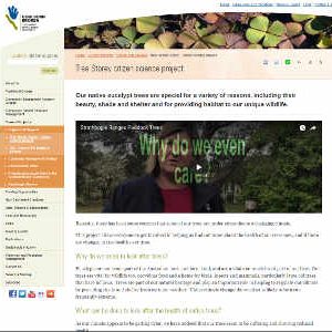
GBCMA -Tree Storey
Recently, there has been some concern that some of our trees are under stress due to a changing climate. This project allows everyone to get involved in helping us find out more about the health of our trees now, and if there are changes in tree health over time.
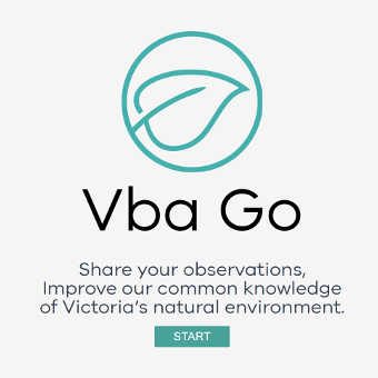
VBA GO
The Victorian Biodiversity Atlas (VBA) is the collated information of flora and fauna sightings across Victoria.
You can use the atlas to search and map species from across the state, check for threatened species in your area and add your own observations.
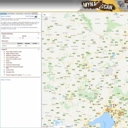
Feral Scan – Myna Scan
Indian Myna populations and habitats are rapidly increasing, forcing out and competing with native species of birds.
MynaScan is a community website that allows you to record and map sightings of myna birds, their impacts, and control activities in your local area. Use MynaScan data to help decide where to control myna birds in your local area.
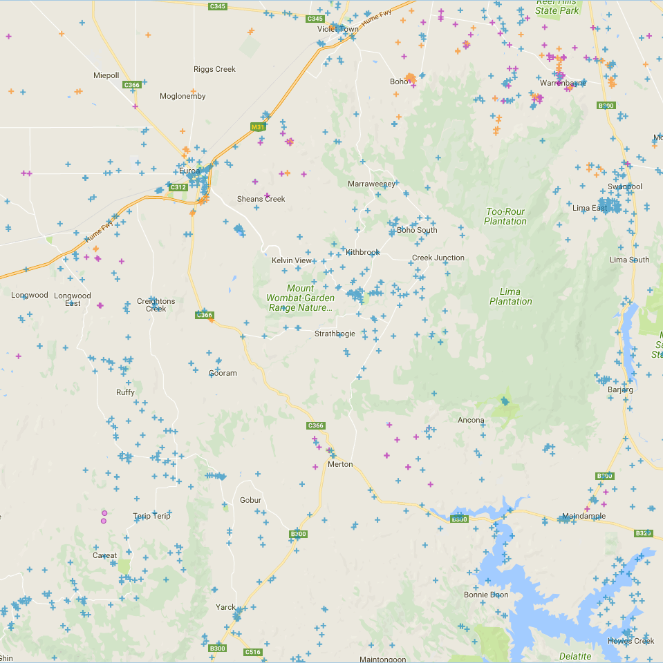
VVB – Visualising Victoria’s Biodiversity
Visualising Victoria’s Biodiversity (VVB) – a place to discover and share spatial information on Victoria’s environmental values, conservation activities and research.
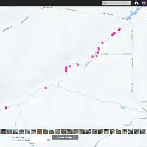
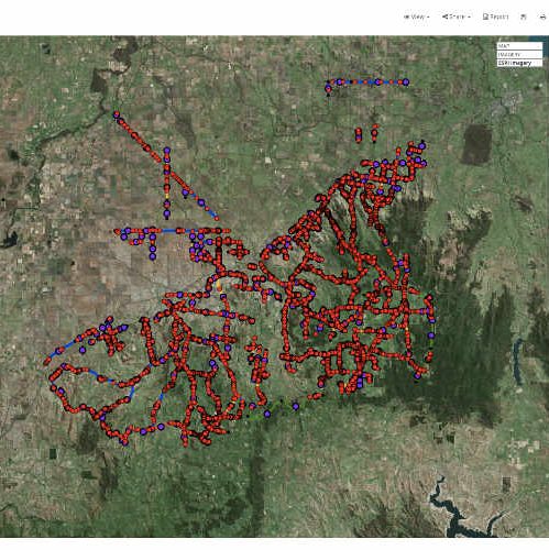
In 2018, the Strathbogie Shire undertook a massive survey of roadside vegetation that included information on weeds, conservation value and flora and fauna that could be found on our roadsides.
To view these records
- Click on this link
- Under the “Categories and layers” tab on the top right of the screen, click the “+” button on the left of the folder “Local Government datasets”
- Click the “+” button on the left of the folder “Strathbogie Shire Council”
- Click on the empty boxes in the three datasets to view the data on the map (make sure you’re looking at the Strathbogie Shire region)
Biolinks Alliance
Biolinks Alliance is the only organisation in Victoria dedicated to inclusive, large-scale conservation – designed to foster coalitions to align and coordinate efforts, to bring in the planning and know-how to ensure they work smartly and succeed.
Biolinks Alliance has identified a unique role for itself as a partnership and capacity building organisation that will ensure that the significant momentum there is for community-driven conservation on public and private land in central Victoria is supported, coordinated and amplified.