
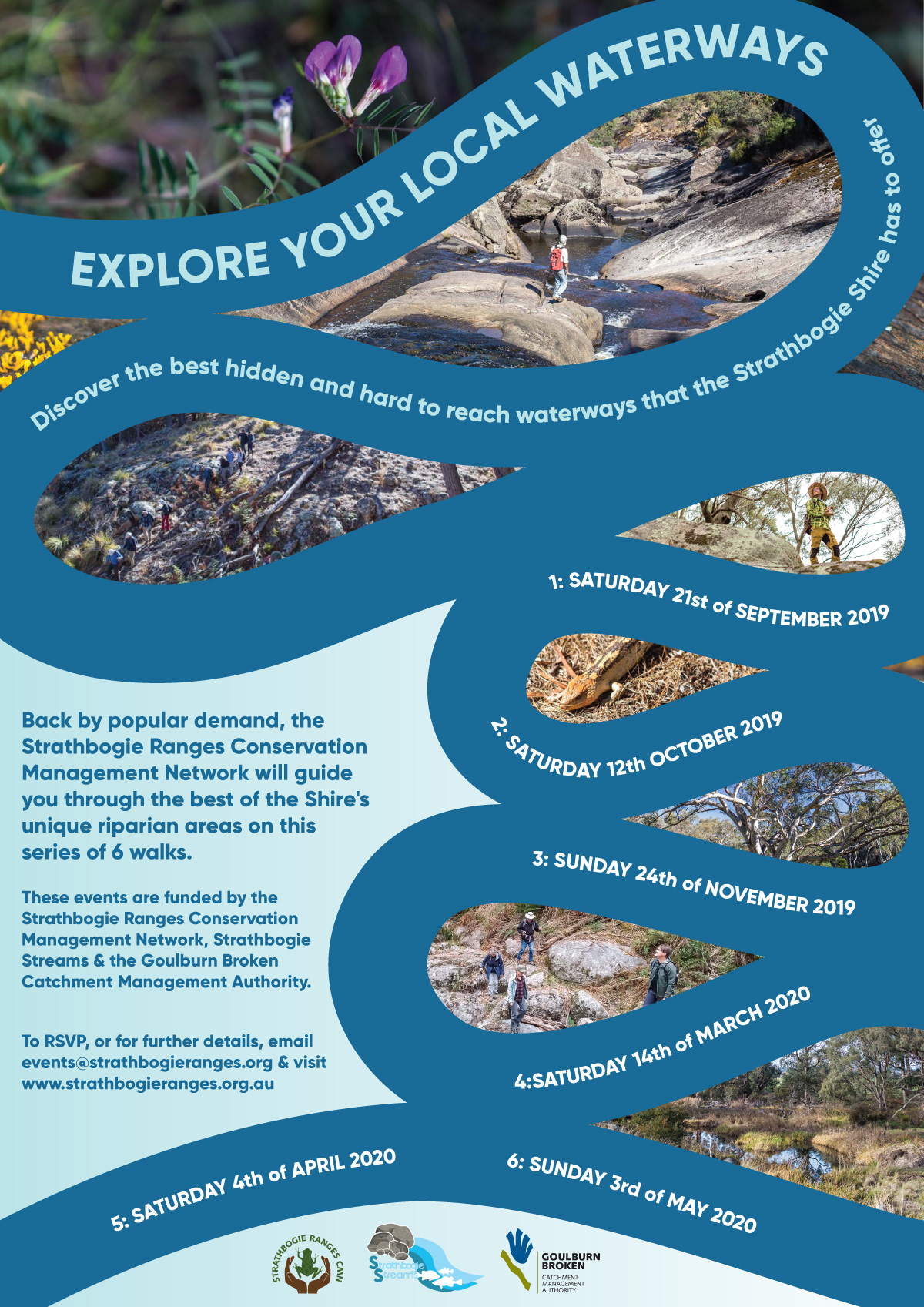
In late 2018, the Strathbogie Ranges CMN held the first of a series of riparian walks. The aim of these walks is to become better acquainted with our local waterways, and record some of their standout features along the way. Weed mapping is another component of the walks, with GPS coordinates being recorded of blackberry and other weeds along the waterways.
The initial project funded by the Goulburn Broken CMA included 6 walks along the Hughes Creek and Seven Creeks and their catchments. Little did we know that 2 years and 14 walks later, we’d have developed a devoted fanbase, documented over 50km of waterways within the Strathbogie Ranges, and be finishing our third series of walks.
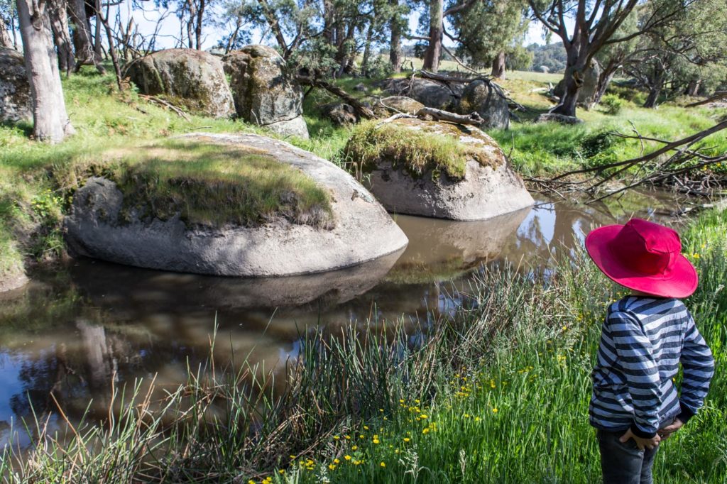
Walkers come from far and wide to explore these waterways. We’re often accompanied by experts in the natural sciences, who are drawn to the adventure of some little-known areas. Many of the routes traverse private property, so walkers have the opportunity to experience areas that are normally difficult to access or obscure.
To read more about individual walks, visit our Past Events page.