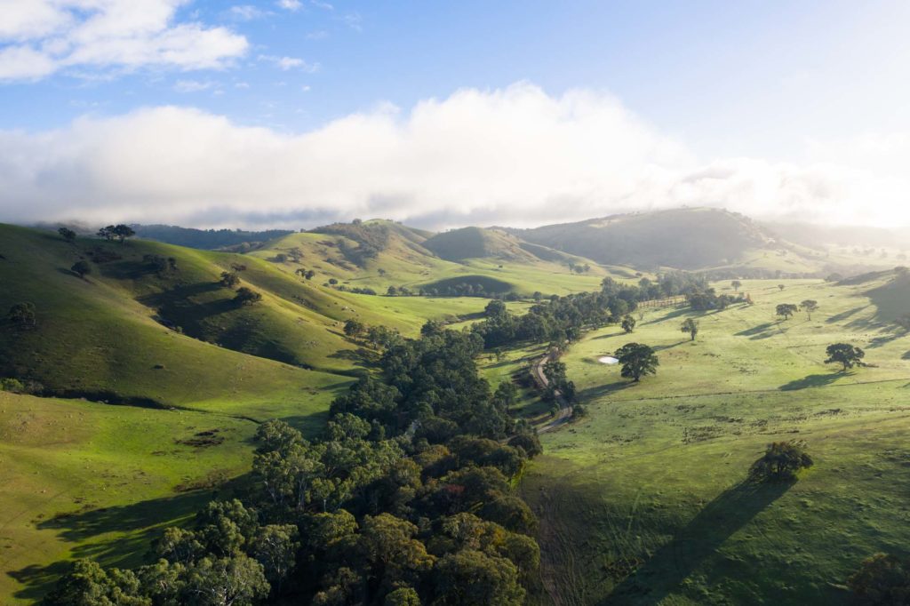
With forecasts rapidly changing in the leadup to the walk, we weren’t sure what to expect from this unexpectedly fine Sunday morning. But as luck had it, the rain held off and made way for perfect walking conditions on the final walk in this series.

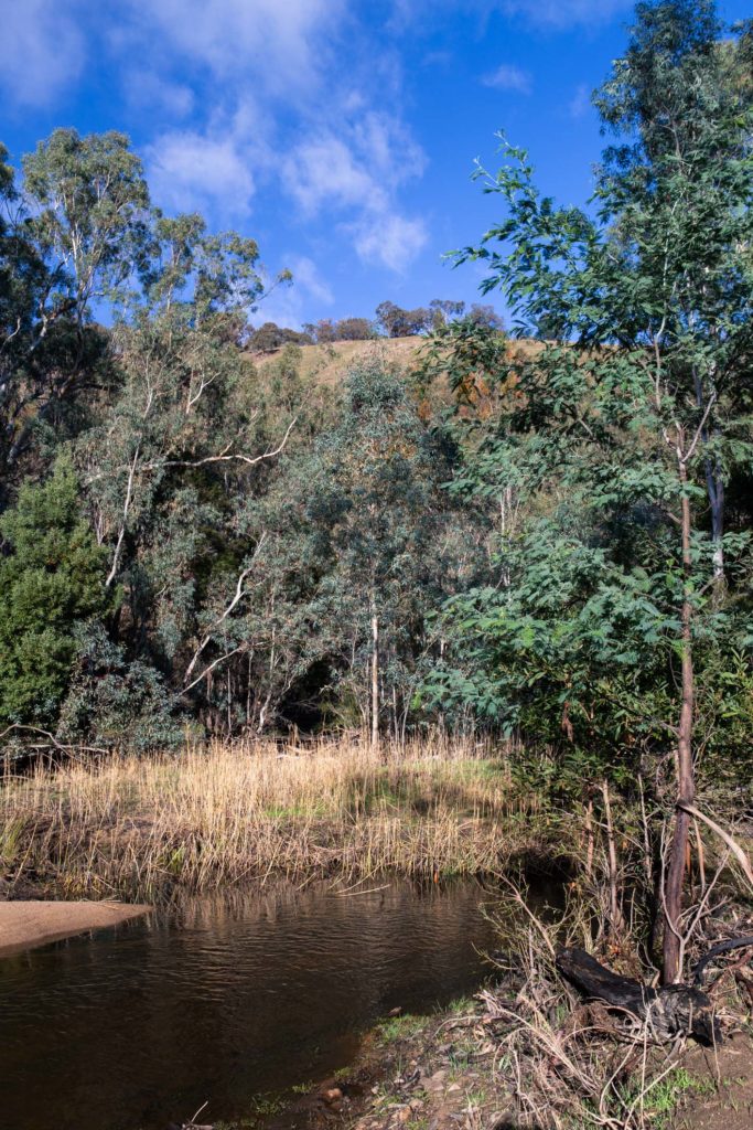
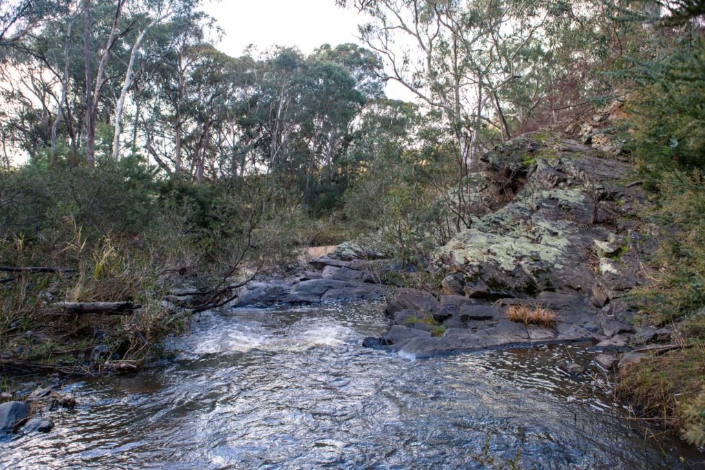
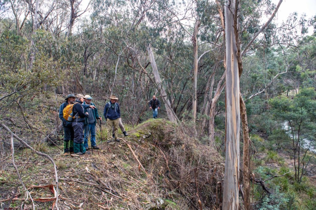
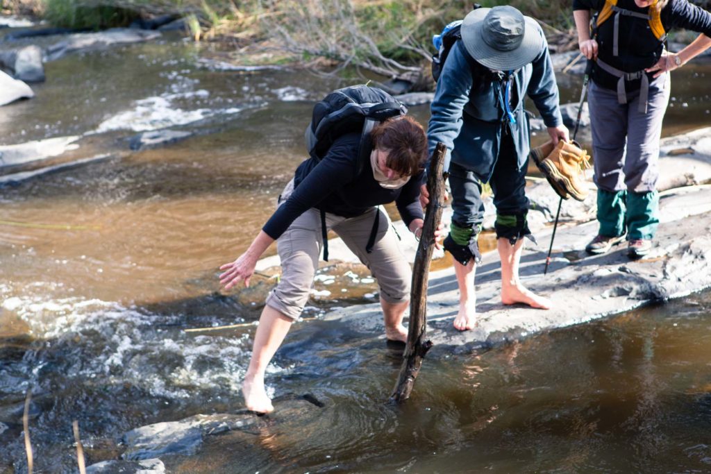
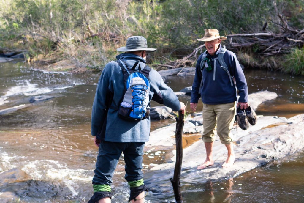
An experienced gang of 7 rallied at the picnic ground on Hughes Creek Rd (near the start of Jeffreys Rd) before setting off downstream of the Hughes Creek. Right off the bat, a creek crossing was needed to get to the more interesting side of the creek, with most walkers opting to go barefoot through the creek instead of risking waterlogged shoes. Since the walk was scouted, the creek level had risen significantly, making these crossings much more difficult than just a few weeks earlier.

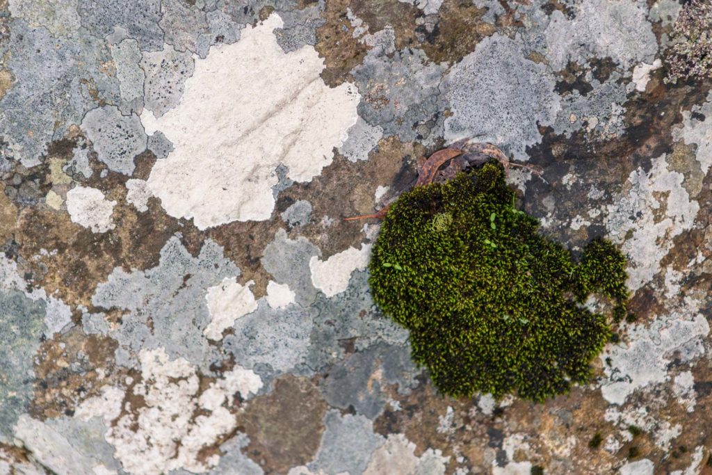
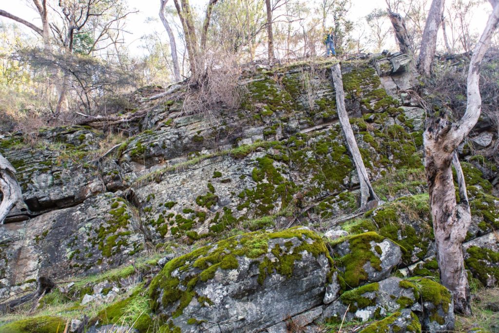
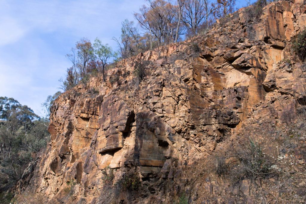
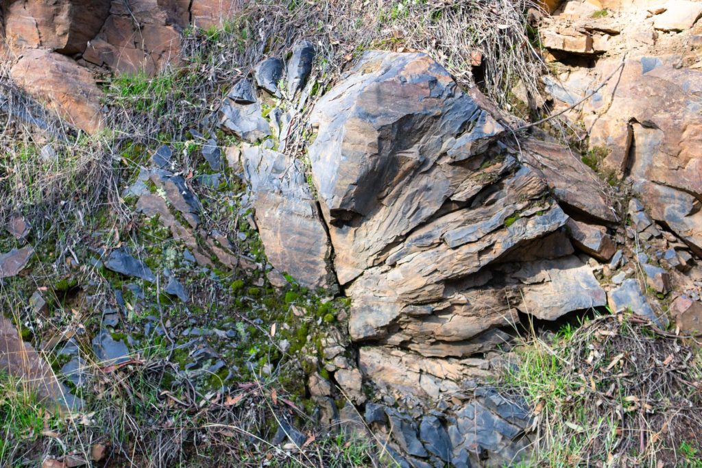
The shire’s resident geologist Neil Phillps, had provided us with a geological map of the walking area, with the walk starting just south of granite country and descending further down into hornfels. For those interested, hornfels is a fine grained, super tough contact metamorphic rock quite distinct from the usual larger grained granite of the bogies.

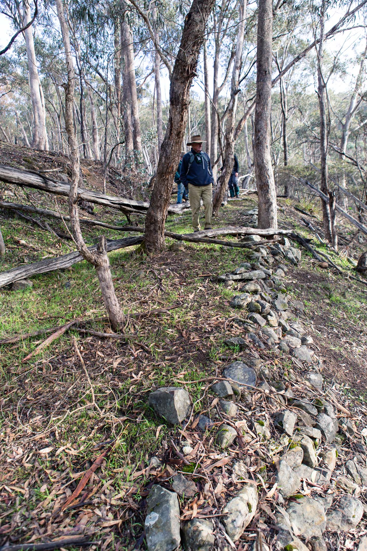
The old road that ran along side the Hughes Creek was constantly dipping down to meet walkers, with the old earthworks still quite visible to those who were looking for them. The established trees in the middle of the road were a good indicator of it’s age.
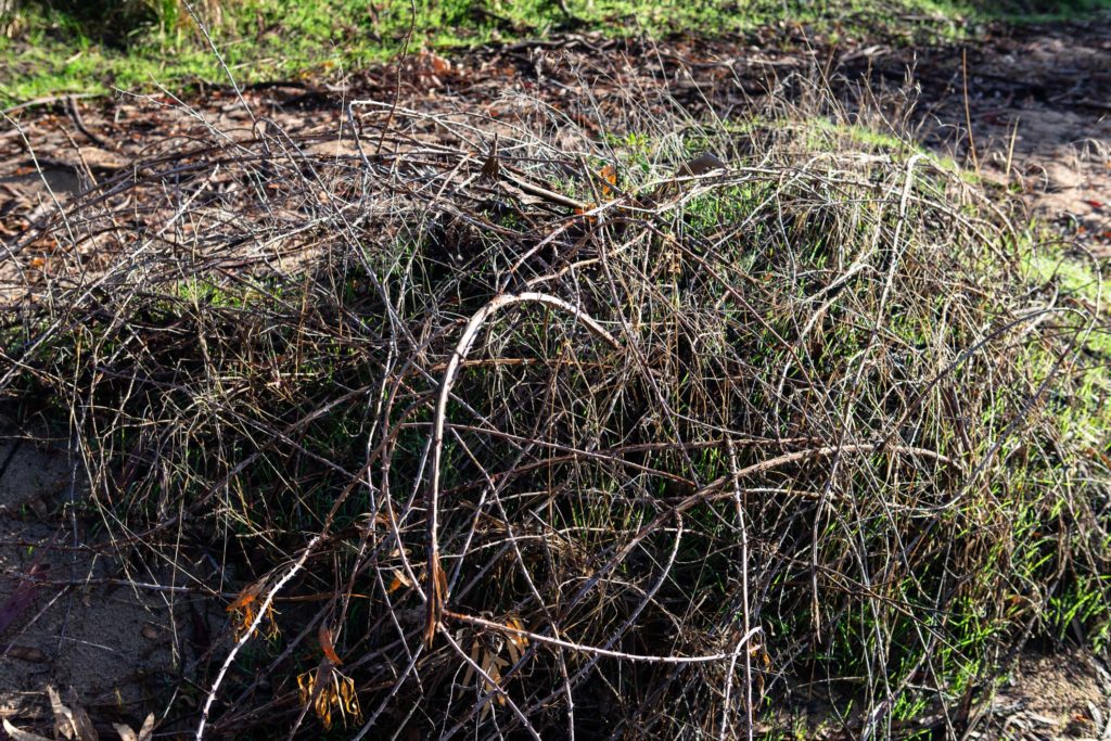
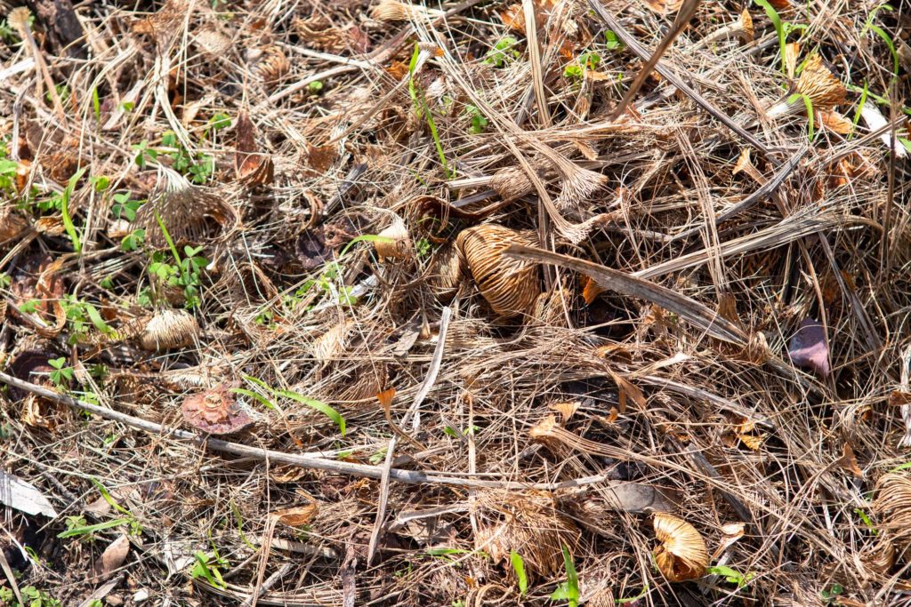
Blackberrys were not as prevalent as further down toward the gorge, but the odd outcrop of gorse still reared it’s ugly head, as well as a solitary, partially eaten paddy melon. A few wombats in no particular hurry were spied, but that was it for fauna sightings.
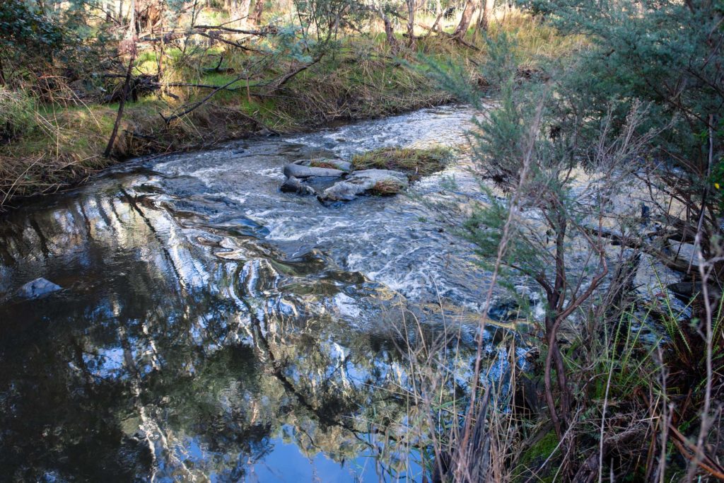
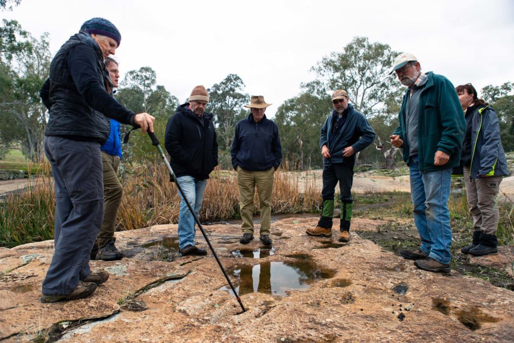
After reaching “the end”, another, more dramatic creek crossing put walkers back on the Hughes Creek Rd for an easy amble back to the cars. This was not the end however, as a short drive up Wicket Hill Rd took walkers to a very special and little known culturally significant indigenous site. Nestled among the branching streams of the Hughes Creek were the stone tool sharpening grooves, a recently re-discovered sight right under everyone’s nose.

The walk started at 9am and concluded around 1:45pm (including the drive to the rock carvings), with the road walking making the walk back much faster than normal. Total length was around 7km, but there were some major discrepancies between walker’s phone GPS tracking apps.

A series of geo-tagged photos has been uploaded to the SRCMN Flickr for public viewing.
Thanks to all of the walkers who came and helped each other out.